Featured film
See the view in motion.
Cinematic aerial footage brings scale, setting, and movement together—giving a project room to make an impression.
Watch on Vimeo Request a quote
Veteran owned & operated · FAA Part 107 licensed
A better view of what matters—purposeful aerial photography for properties, construction projects, and businesses across Raleigh, Durham, Cary, and the Triangle.
What we do
From a single property to an active jobsite, every drone photography and video flight begins with a clear plan and ends with edited, ready-to-use visuals.
Cinematic aerial footage brings scale, setting, and movement together—giving a project room to make an impression.
Watch on VimeoGive buyers, owners, and project teams a clear sense of place with polished aerial photo and video.
Listings · Land · Managed properties Explore property servicesDocument site context and progress with carefully planned aerial coverage built around your scope.
Progress · Documentation · Site context Explore construction servicesShowcase a location, destination, or small business with elevated visuals made for modern marketing.
Brand stories · Social · Web Explore commercial services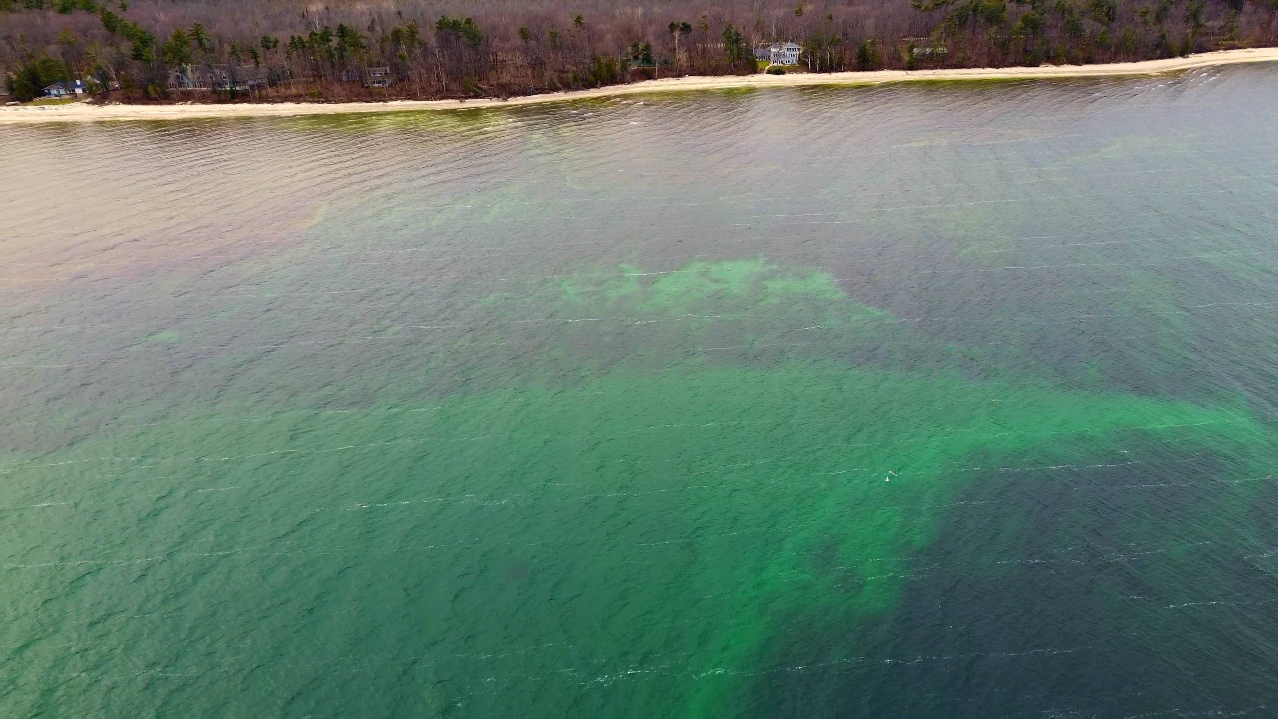
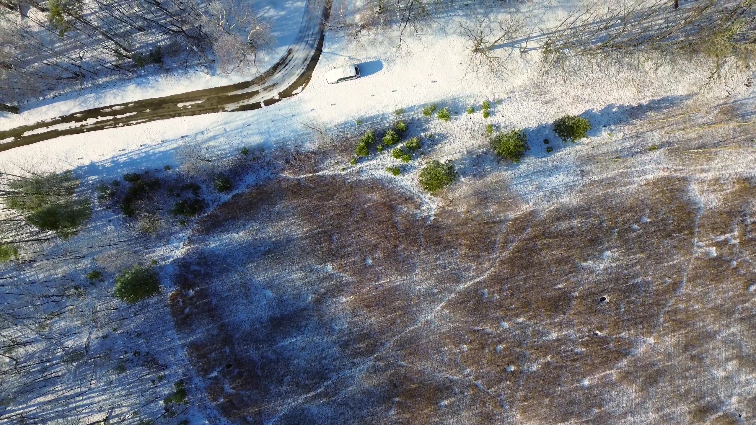
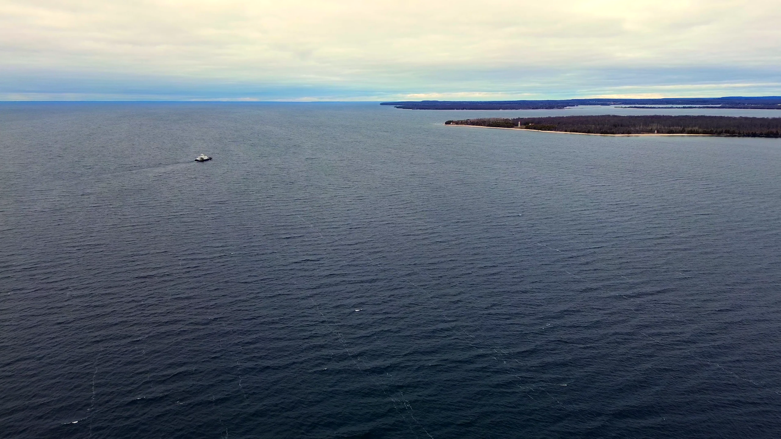
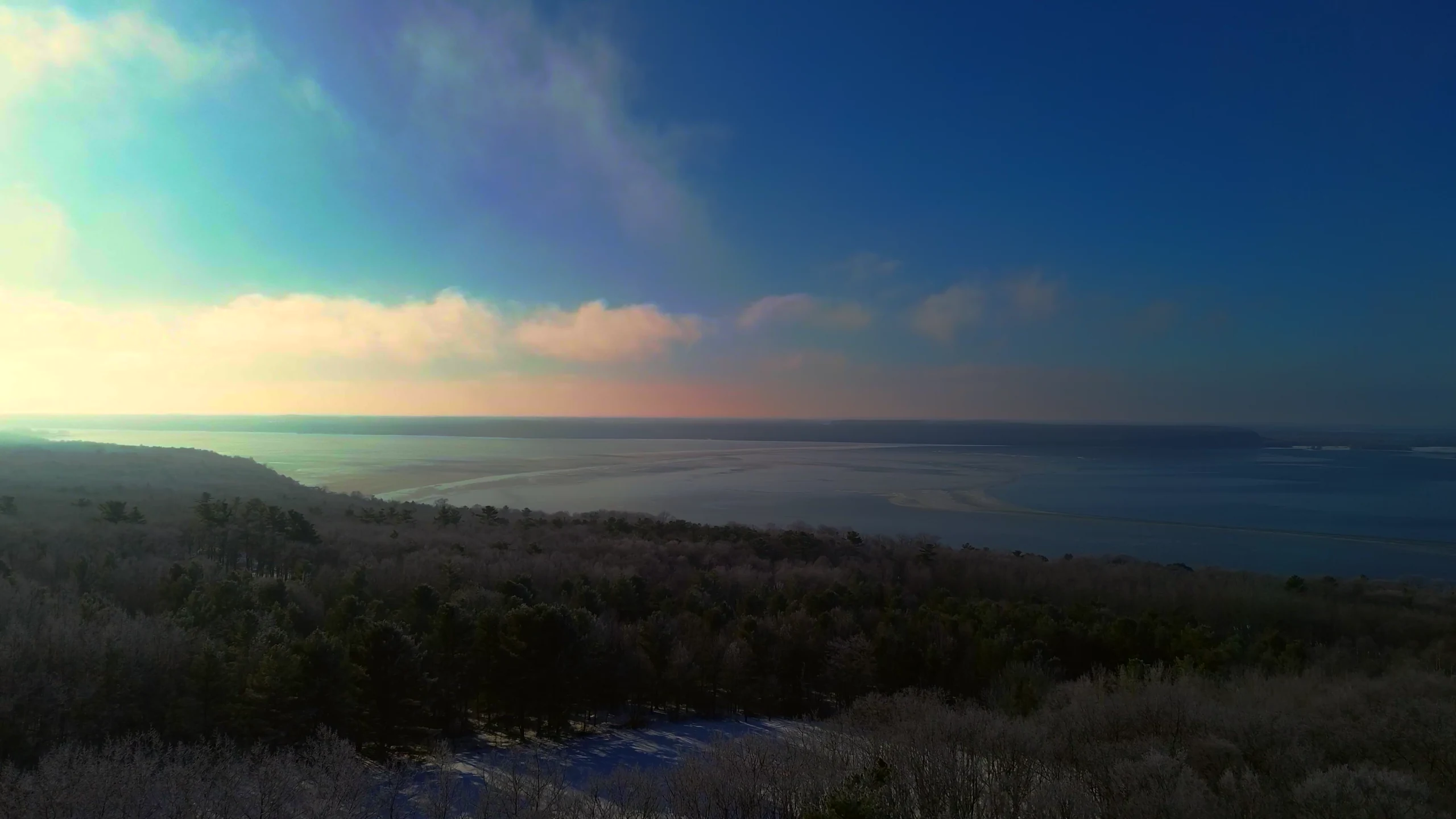
Representative aerial portfolio imagery · Project locations not listed
From above
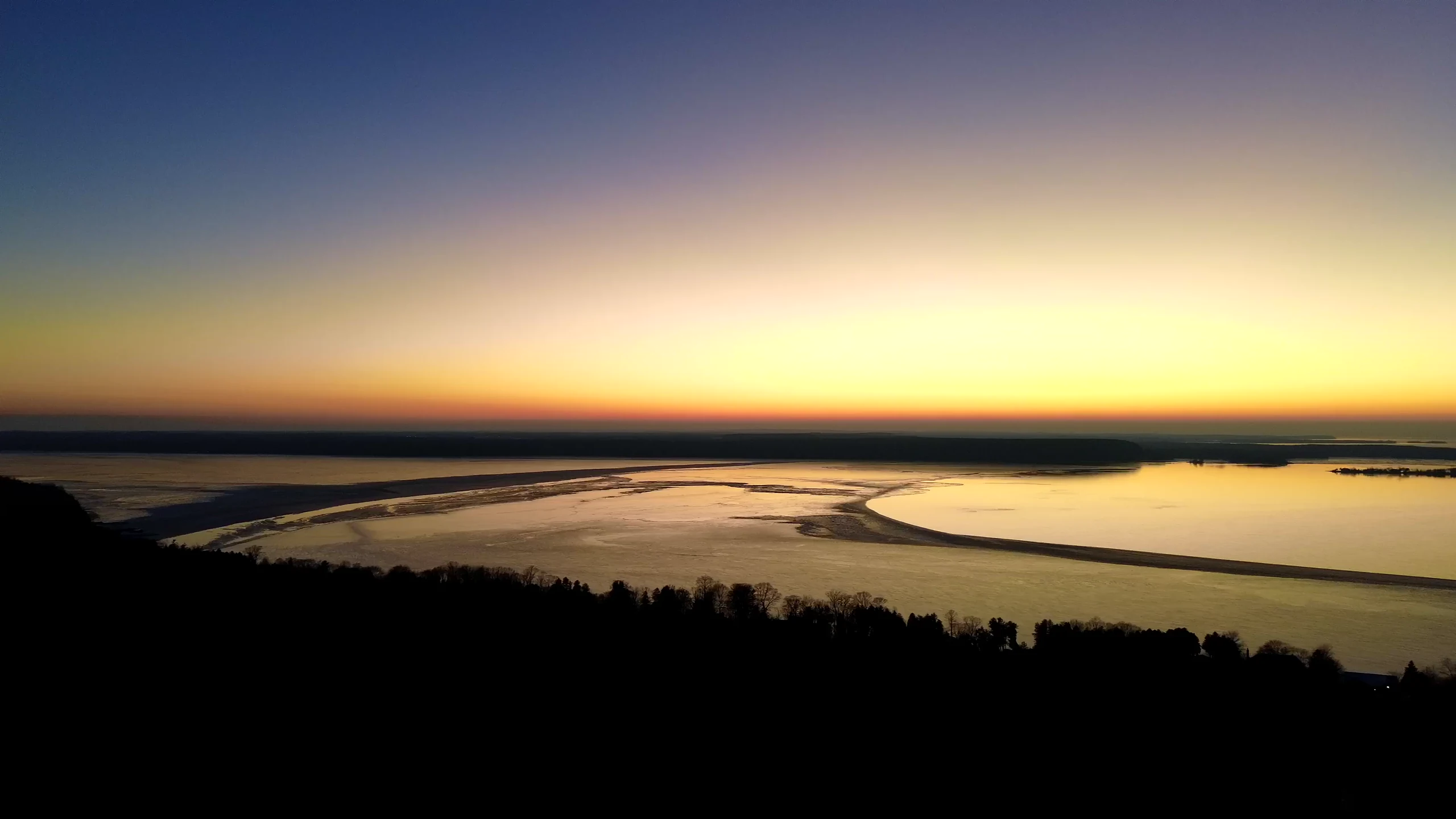
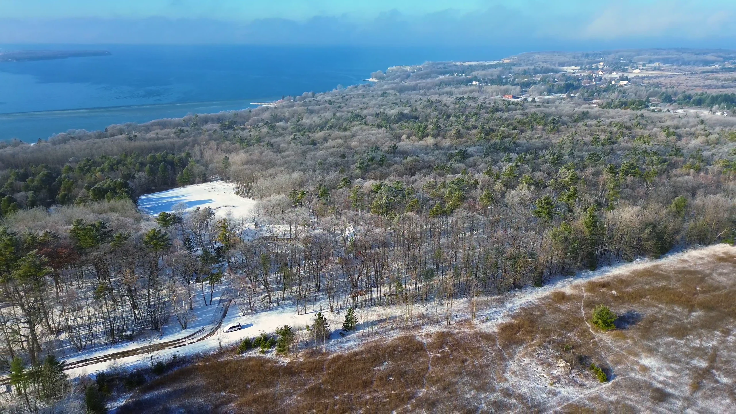
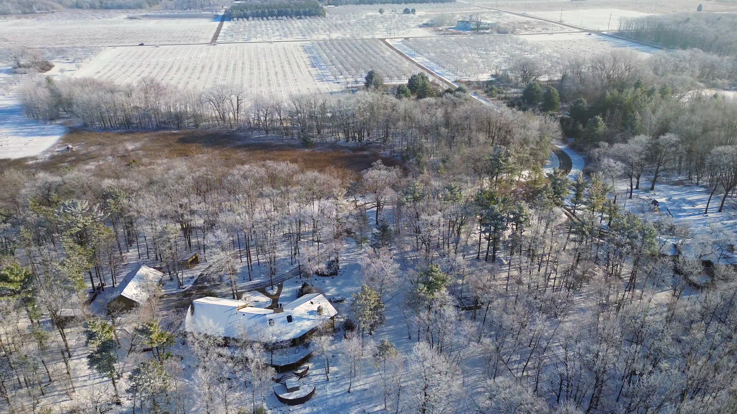
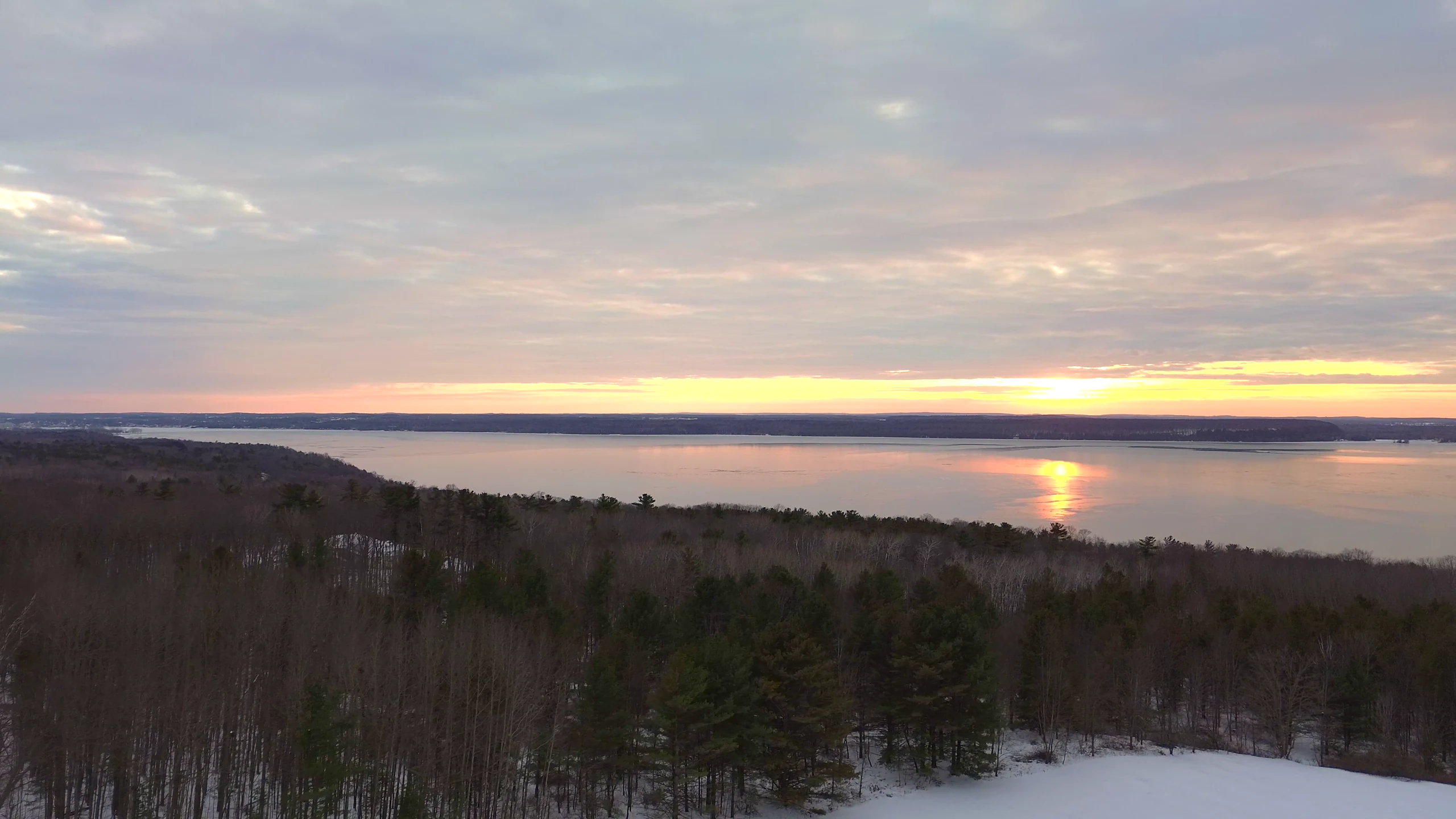
The landscape tells a fuller story from the air—revealing scale, surroundings, access, and atmosphere in a single frame.
The process
Tell us what you need to show, where the project is, and how the finished content will be used.
We shape the coverage around the site, conditions, safety considerations, and your priorities.
You receive edited, ready-to-use visuals on a timeline established for your project scope.
About Daily Drone Service
Daily Drone Service was founded on a practical idea: the perspective that once required a helicopter and a high-end camera is now within reach for everyday projects.
Thirteen years of service with the U.S. Army and Department of Defense shaped the professionalism behind every project—careful planning, attention to detail, and respect for the job at hand. The result is thoughtful aerial coverage without unnecessary complexity.
Service area
Serving Raleigh, Durham, Cary, the Triangle, and communities across central and eastern North Carolina. Project outside the area? Start a conversation—we’ll confirm what’s practical for the scope.
Explore the service areaBefore takeoff
Daily Drone Service serves Raleigh, Durham, Cary, the Triangle, and communities across central and eastern North Carolina. Projects outside the area can be reviewed based on location and scope.
Drone photography and video can help present properties and land, document construction context and progress, and create commercial content for businesses, destinations, websites, and social media.
Yes. Daily Drone Service is FAA Part 107 licensed and plans each flight around the site, conditions, safety considerations, and project priorities.
Deliverables are edited and prepared for the agreed use. The specific mix of aerial photos, drone video, formats, and timing is established for each project scope.
Weather, airspace, site access, safety conditions, the requested coverage, and the project location can all affect when a flight is practical.
Share the service, project location, desired timing, and what the finished imagery should accomplish. Daily Drone Service will follow up to confirm the practical scope and timing.
Start a conversation
Share the basics. We’ll use your location, goals, and timing to shape the right coverage and confirm a scope-based turnaround.
