Understand the site
Show the relationship between work areas, access points, surrounding property, and the broader project setting from carefully selected aerial viewpoints.
 Request a quote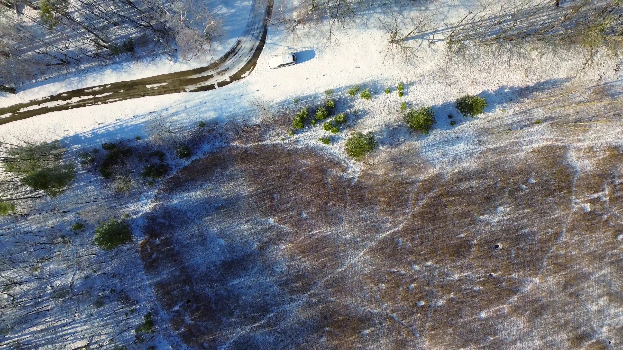
Construction flyovers
Planned drone photography and video can document site context and progress while giving project teams a consistent, useful perspective on an active location.
Site context
Construction drone photography can show how a site fits together at a moment in time. The requested views, site conditions, access, safety considerations, and timing all inform the flight plan.
Daily Drone Service works with project teams to define what the aerial coverage should show and how the finished visuals will be used. The result is edited photography and video prepared around the agreed scope.
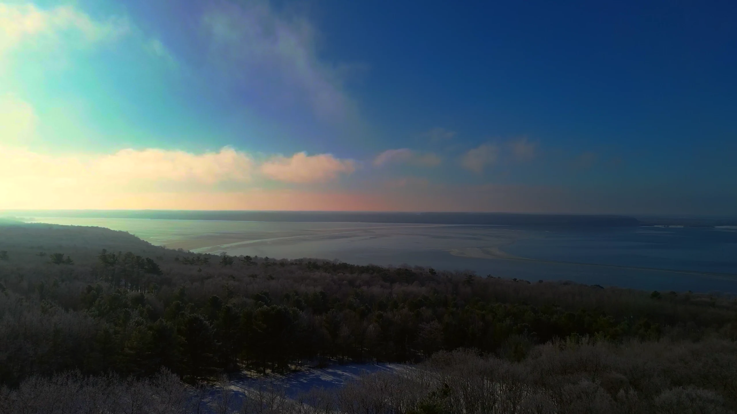
Flights serve Raleigh, Durham, Cary, the Triangle, and communities across central and eastern North Carolina, with other locations reviewed based on practicality.
Show the relationship between work areas, access points, surrounding property, and the broader project setting from carefully selected aerial viewpoints.
Capture the site at an agreed stage so teams have polished visuals that communicate current conditions and progress.
Establish whether the project needs photography, video, or a combination, then prepare edited files for the intended audience and channel.
Before takeoff
Share the project location, the areas that matter, the desired timing, and the audience for the finished content. Site access, weather, airspace, safety conditions, and requested coverage can all affect scheduling.
Start a conversation
Share the site, timing, intended use, and the project details the finished coverage should communicate.
Request a quote