Show the surroundings
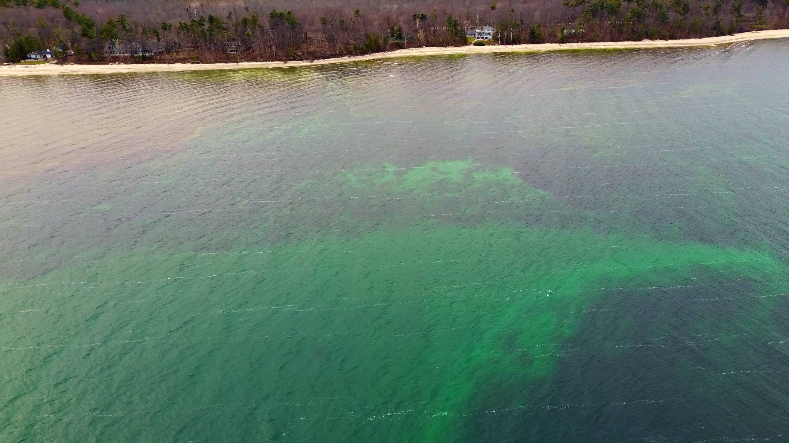
Place the property within its broader setting, including nearby landscape, water, roads, and neighboring development when those views support the project.
 Request a quote
Property flyovers
Aerial photography and video can reveal layout, surroundings, access, and atmosphere in a way ground-level images cannot—helping listings, land, and managed properties communicate a fuller sense of place.
A clearer overview
Property drone photography gives viewers a direct understanding of scale and setting. Coverage is planned around what the property needs to communicate and how the finished visuals will be used.
Daily Drone Service creates edited aerial photography and video for listings, land, private property, and managed locations across Raleigh, Durham, Cary, the Triangle, and communities throughout central and eastern North Carolina.
Every project begins with the location, desired views, timing, and intended use. Those details shape a practical flight plan and the mix of deliverables.
Place the property within its broader setting, including nearby landscape, water, roads, and neighboring development when those views support the project.
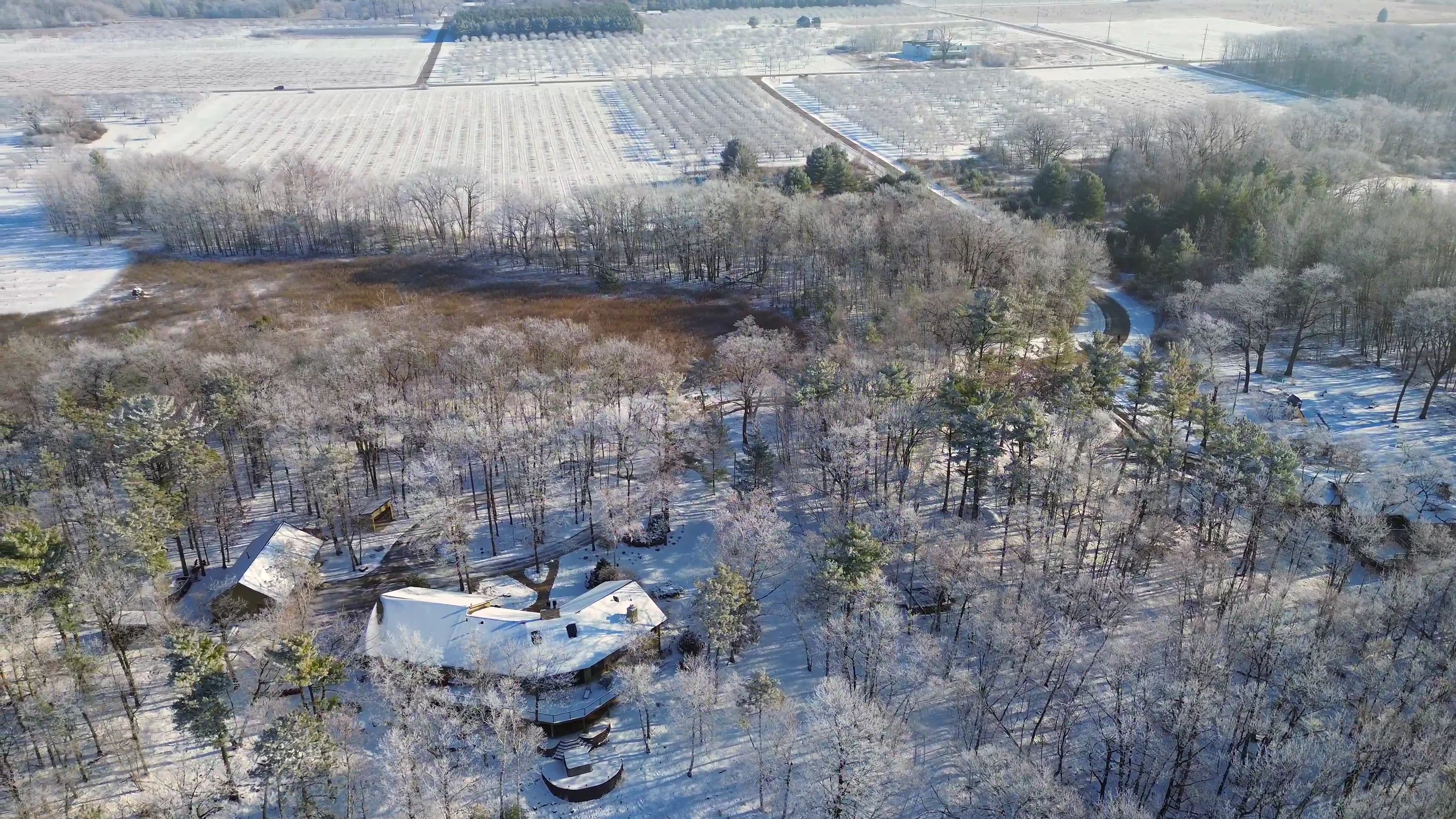
Use carefully selected angles to communicate acreage, buildings, boundaries of interest, and the relationship between features without overstating what the imagery shows.
Final photos and video are prepared for the agreed use, with format and timing established as part of the project scope.
Plan the coverage
Useful property coverage is shaped by the site and the goal. Share the location, the views or features that matter, and where the finished content will appear.
Start a conversation
Share the location, timing, intended use, and what the finished visuals should help people understand.
Request a quote